
Assam: Flood Plain Zoning Bill to use LiDAR, satellite mapping to identify vulnerable areas

Guwahati: Assam Chief Minister Himanta Biswa Sarma on Sunday, November 15, outlined the key objectives of the proposed Assam Flood Plain Zoning Bill, 2026, describing it as an initiative to introduce scientific mapping and a structured approach to flood management in the state. In a post on X, Sarm…
Read the full story on Northeast Now Opens nenow.in in a new tab
Advertisement Tech RajeshwarNeed a new website?Websites & apps built for your business — contact Tech RajeshwarContact us
 This is a short summary of a story published by Northeast Now, shown with a link to the original. The full story, photo and reporting belong to Northeast Now.
More from Assam
All Assam news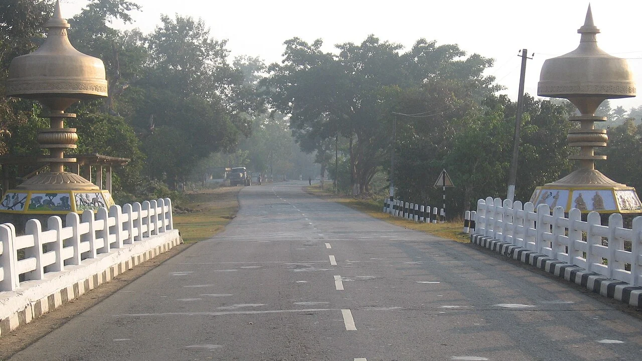 AssamKaziranga Accident: काजीरंगा के पास मिनीबस-ट्रक की टक्कर में 26 की मौत, कई कॉलेज छात्र; डैशकैम में लेन बदलती दिखी बस, परिवारों को ₹9 लाख
 AssamAssam: Owner of Kaziranga accident minibus arrested over alleged safety violations
 ViralGuwahati Police Share Rock-Inspired Safety Checklist Ahead Of Guns N' Roses Concert: "Have A Little Patience"
 AssamGuwahati-bound IndiGo flight returns to Pune due to technical snag; all passengers safe — Here's all you need to know
 AssamLakshya Sen wins Japan Masters after remarkable comeback against Koki Watanabe
 AssamAssam: Guwahati-bound IndiGo flight returns to Pune following landing gear malfunction
More States & Cities news
More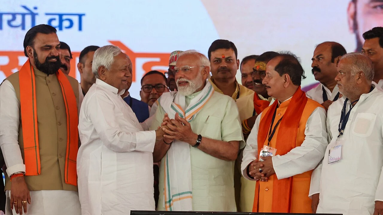 BiharBihar Cabinet: छठ से पहले कर्मचारियों का DA 3% बढ़ा, 31 एजेंडों पर मुहर; गंगा पुल को ₹4,572 करोड़, बिहार AI मिशन और नई भवन विधि को मंजूरी
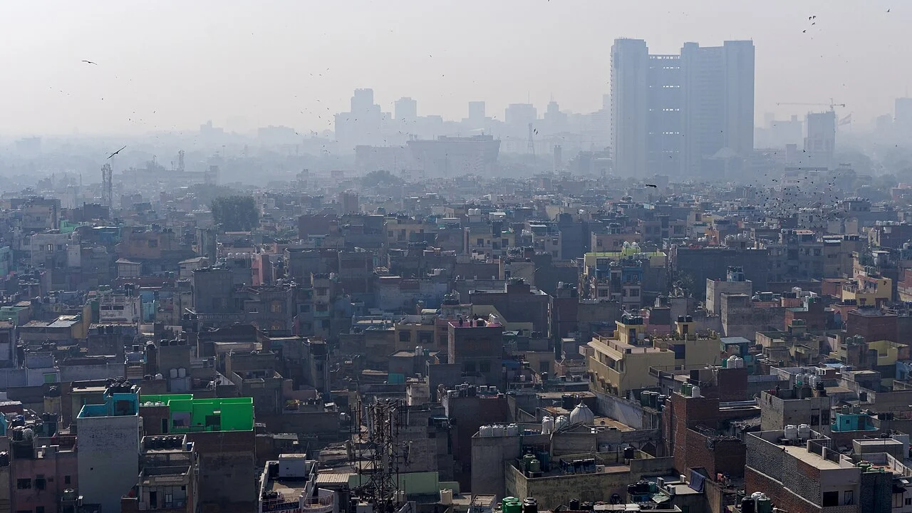 DelhiDelhi AQI: दिल्ली की हवा फिर 'बहुत खराब', AQI 313 पहुंचा; गुरुवार से पराली का धुआं 20% तक, एक दिन में 927 जगह जली पराली
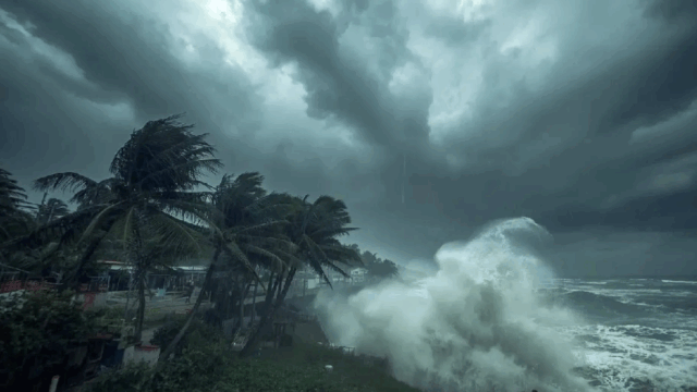 OdishaPossible Cyclone Akvan May Become Very Severe With 145 Kmph Gusts On Nov 19; Heavy Rain To Pound Odisha
 OdishaFear Of “Unknown Gunmen”; Special ISI Cover For Hafiz Saeed, Massod Azhar
 HaryanaHaryana sets up district-level boards to monitor jails, includes human rights panel memberDelhiEight chlorine gas cylinders illegally stored near Chhath ghat seized in Delhi, one arrested
AdvertisementTech RajeshwarNeed a new website?Websites & apps built for your business — contact Tech RajeshwarContact us
Tech RajeshwarNeed a new website?Websites & apps built for your business — contact Tech RajeshwarContact us From Nabh24
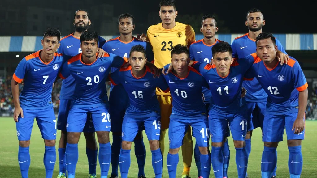 SportsSAFF Championship 2026: भारत फाइनल में, भूटान को 2-1 से हराया; विष्णु और कप्तान चिंगलेनसाना के गोल, VAR ने रद्द की पेनल्टी; 17 नवंबर को खिताबी मुकाबला
 IndiaCabinet Decisions: किसानों को DAP ₹1,350 में ही, रबी खाद सब्सिडी ₹62,370 करोड़; Noida Metro एक्वा लाइन ग्रेटर नोएडा तक, Stand-Up India 2031 तक बढ़ी